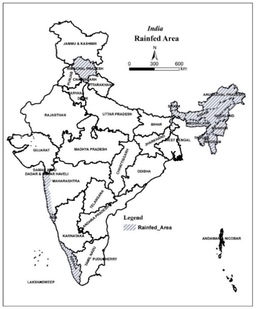
Spatial Modeling of land suitability helps in right deployment of a crop to its suitable locations. The present study was aimed at developing a GIS and MCDA (multi criteria decision analysis) integrated spatial model to assess land suitability for oil palm cultivation under rainfed conditions of India. The most critical parameters (factors) influencing oil palm cultivation under rainfed conditions were identifiedand weights were assigned through rank sum method. Spatial data for these parameters has been collected at district level from standard sources. Thematic rasters developed in GIS with defined sub-classes. Through MCDA, digital suitability map developed and suitable areas (three classes) were delineated, in ArcGIS 10.3.Accordingly, 10.478 million ha (Mha) area was identified as suitable for rainfed cultivation of oil palm in the country.Further, to facilitate expansion of oil palm cultivation to sustainable locations alone, the identified suitable area was restricted to existing eight land use land cover (LULC) classes only. After restricting this suitable area to only selected LULC classes, 4.237 Mha area was identified as suitable in total (0.95 Mha- highly suitable, 1.08 Mha- moderately suitable and 2.21 Mha- marginally suitable). Most of the highly suitable areas were found in Kerala and Andaman & Nicobar Islands. This information acts as a decision tool for policy makers in planning oil palm expansion in the country and presently it is being followed by Indian government to allocate oil palm crop to most suitable areas for achieving sustainable production of the crop in the country.