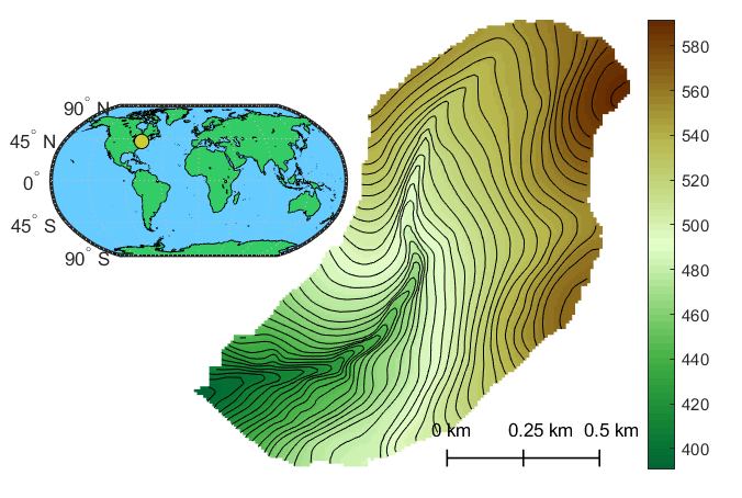
The Hammond Hill Research Catchment (HH) is a small (120 ha), temperate, second order tributary to Six Mile Creek, Cayuga Lake, and the Great Lakes (42.42°, -76.32°). The HH has been monitored since January 2017 for the purpose of understanding how recent infiltration mixes with antecedent soil water on hillslope forest floors and the spatial and temporal patterns of Root Water Uptake (RWU) by temperate northeastern US tree species (eastern hemlock [Tsuga canadensis], American beech [Fagus grandifolia], and sugar maple [Acer saccharum]). These data are informing us about the hydrologic consequences of anticipated tree species composition change and supporting the development of more refined ecohydrological models. The glaciated catchment is underlain by a shallow confining siltstone layer (1 – 1.5 m depth) and dense with a regrowth (approximately 60 years old) mixed species forest of hemlock, beech, and other deciduous tree species common to the northeastern US. Current datasets from the HH include fixed-internal precipitation snow water equivalent, and discharge, and associated isotopic water compositions (2H & 18O). Frequent (<1 month) measurements of shallow (top 10 cm) soil water content and bulk soil water and hemlock and beech xylem isotopic compositions are made at six locations across a topographic wetness gradient. The near-term role of the HH is to support an understanding of the environmental and ecological drivers of plant RWU competition and ecohydrologic education.