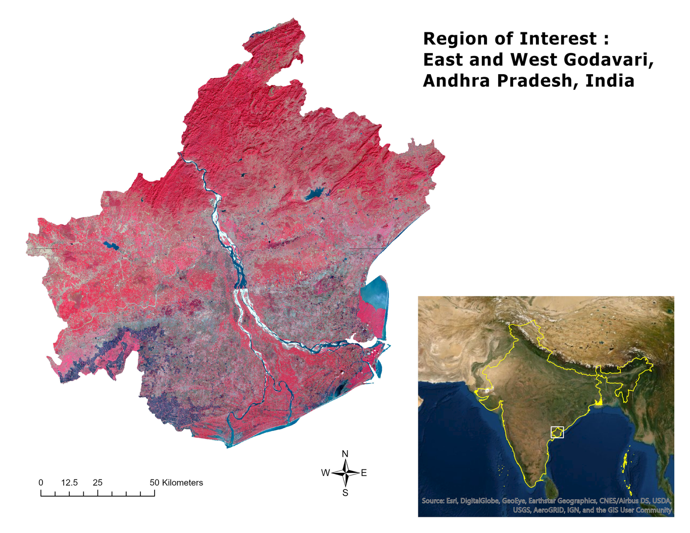
This study’s objective was to develop a method by which smallholder forest plantations can be mapped accurately in Andhra Pradesh, India, using multitemporal visible and near-infrared (VNIR) bands from the Sentinel-2 MultiSpectral Instruments (MSIs). Conversion to agriculture, coupled with secondary dependencies on and scarcity of wood products, has driven the deforestation and degradation of natural forests in Southeast Asia. Concomitantly, forest plantations have been established both within and outside of forests, with the latter (as contiguous blocks) being the focus of this study. Accurately mapping smallholder forest plantations in South and Southeast Asia is difficult using remotely sensed data due to the plantations’ small size (average of 2 hectares), short rotation ages (4-7 years for timber species), and spectral similarities to croplands and natural forests. Cloud-free Harmonized Landsat Sentinel-2 (HLS) S10 data was acquired over six dates, from different seasons, over four years (2015-2018). Available in situ data on forest plantations was supplemented with additional training data resulting in 2,230 high-quality samples aggregated into three land use classes: non-forest, natural forest, and forest plantations. Image classification used random forests on a thirty-band stack consisting of the VNIR bands and NDVI images for all six dates. The median classification accuracy from the 5-fold cross-validation was 94.3%. Our results, predicated on high-quality training data, demonstrate that (mostly smallholder) forest plantations can be separated from natural forests even using only the Sentinel-2 VNIR bands when multitemporal data (across both years and seasons) are used.